We offer the following services to meet the needs of your specific project.
Establish Project Control
Lawrence Associates utilizes a Topcon HiPer Global Positioning System (GPS) unit to establish horizontal and vertical control within the specified projects limits orienting all projects to the North Carolina State Plane Coordinate System. Aerial photographic panels will be established, if the job scope requires.

Deed Research
Lawrence Associates will coordinate and perform deed research necessary to complete the requested activities. Experienced research technicians, under the direct supervision of the licensed land surveyor, will perform the deed research activities. The recorded information will be inputted into AutoCAD software for preparation of the field and mapping activities.

Plat, Exhibits and Exhibit Documents
Lawrence Associates will provide individual plats for property owners and/or easements. All mapping will be oriented to NC State Plane Coordinate System.

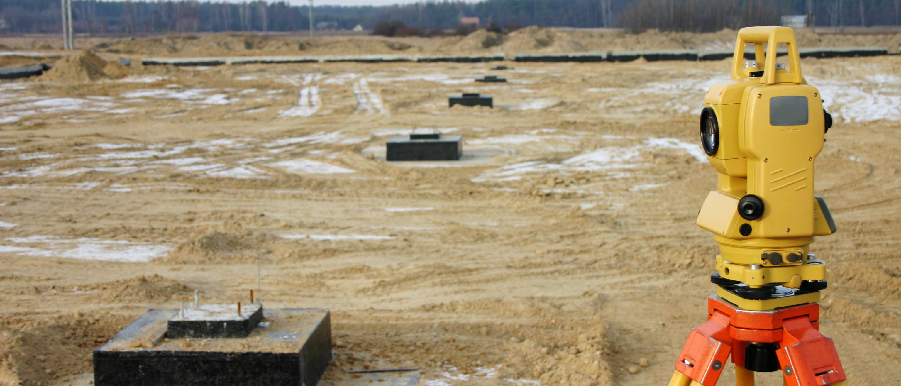
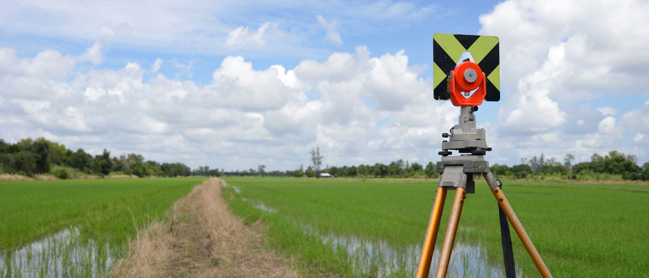
Field Locating Services
Lawrence Associates uses GPS, robotic and conventional equipment to provide a variety of locating services including boundary and topographic surveys, ALTA/ACSM Land Title Surveys, utility location services, route surveys, and roadway and bridge location services.

Construction Staking Services
Lawrence Associates provides construction staking services on a wide range of commercial, municipal, residential, and local governmental projects. Lawrence Associates has the personnel and equipment to operate one conventional crew, four robotic crews, and one GPS field crew.
Mapping Services
Lawrence Associates utilizes three Professional Land Surveyors, one Professional Engineer and two Technicians to complete all necessary mapping services.
- ALTA/ACSM Due Diligence Surveys
- Easement Maps and Surveys
- Metes and Bounds Descriptions
- Utility Locating and Mapping
- Subdivision Platting